|
|
TEGEOSEV New geospatial technologies for road safety studies |
|

|
Data collection |
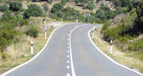
The data required for this research project were collected by several sources, such as airborne LiDAR, orthophotos, drones and Mobile Mapping Systems (MMS) in order to obtain digital elevation models of rural highways and urban interchanges. MMS are capable of capturing a high-density cloud of points of the roadway and its roadsides with high precision.
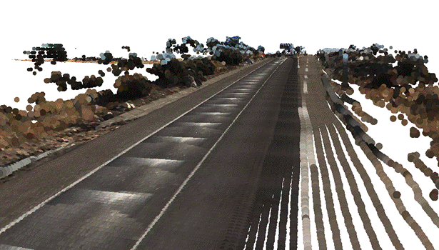
The procedure based on 3D modelling of the highway and its roadsides has been validated through a verification on the spot that delivered successful results.