|
|
TEGEOSEV New geospatial technologies for road safety studies |
|

|
Applications |
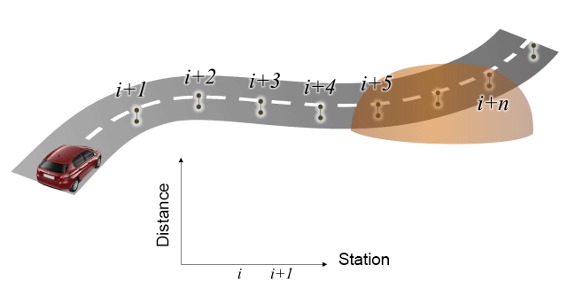
An application on GIS
has been developed to compute 3D sight distance on highways using elevation
models. The algorithm proceeds checking visibility iteratively over lines of
sight on the theoretical vehicle path, defined by a set of points.
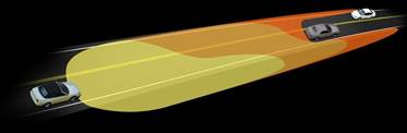
This application
comprises a specific module that enables the calculation of nighttime sight distance
simulating the headlights of the vehicle.
A geoprocessing model
on GIS has also been developed to compute 3D sight distance on highways with
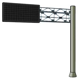
overhanging features (cantilever signs, structures, tree crowns, etc.).