|
|
EVALUATION OF AVAILABLE SIGHT DISTANCE IN HIGHWAYS USING GEOGRAPHIC INFORMATION SYSTEMS (VISCASIG) |
|

SURVEYING
|
|
|
|
|
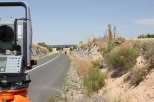
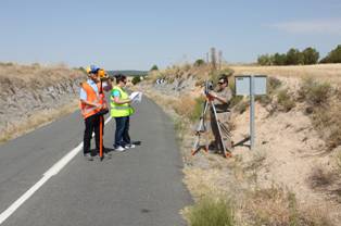
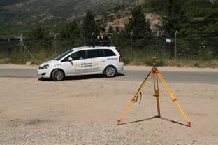
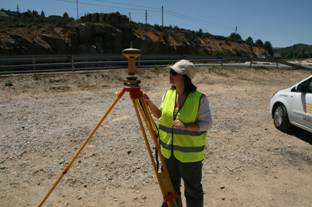
Several surveys have been performed using high resolution equipment such as photography and video cameras, GPS, a total station, and Mobile Mapping Systems (LIDAR, GNSS and inertial systems)